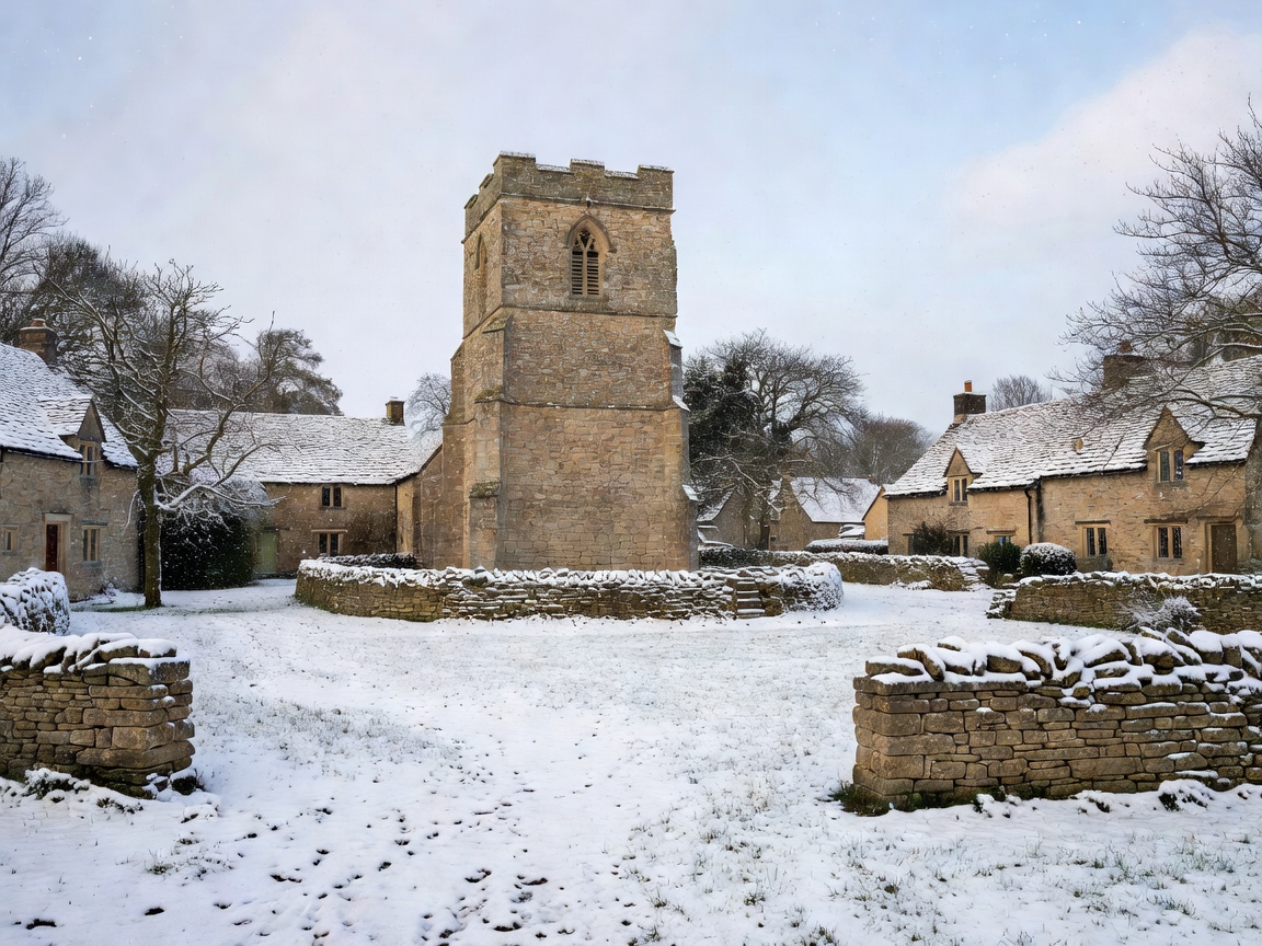
High-Wold Topography & Settlement Morphology
Elevated at over 700 feet above sea level, Snowshill occupies an upland plateau position near the northern scarp edge above Broadway. Its historic name derives from Old English "Snaw-hyll", reflecting its exposed position where winter snow flurries settle earliest and linger longest within the district. Unlike the lush valley villages along the Windrush or Coln, Snowshill possesses a robust, wind-hardened character defined by sturdy limestone cottages, tight stone-walled lanes, and open pastures swept by prevailing westerlies.
The parish church of St Barnabas occupies the small triangle at the village center, encircled by simple vernacular farm cottages. The relative isolation of Snowshill preserved its archaic character intact into the twentieth century, attracting eccentric collector and architect Charles Paget Wade to purchase Snowshill Manor in 1919.
Snowshill Manor & Terraced Arts-and-Crafts Gardens
The estate of Snowshill Manor (managed by the National Trust) represents a singular synthesis of traditional Cotswold stone masonry and Arts-and-Crafts garden design. Wade transformed the steep terraced slope into a sequence of outdoor "rooms" framed by Cotswold drystone walls, pleached fruit trees, and water basins designed in collaboration with architect M.H. Baillie Scott.
Inside the manor, Wade gathered thousands of examples of manual craftsmanship—from intricate Japanese samurai armor to hand-forged agricultural implements, musical instruments, and antique clocks—organized strictly according to craftsmanship, color, and texture rather than chronological timeline.
Field Walk: Snowshill to Broadway Tower Ridge Loop
For ramblers seeking open horizon vistas, this upland path offers dramatic relief:
- Distance: 6.2 miles circular
- Climb: 520 ft gradual ascent onto the main scarp
- Key Highlights: Snowshill church green, Buckle Street (ancient Roman ridge line), and views towards the Black Mountains in Wales on clear afternoons.
- Condition: Exposed downland trails; windproof outer layers are recommended even during temperate autumn afternoons.
| Season | Atmospheric Character | Footpath Conditions | Travel Tip |
|---|---|---|---|
| Spring (Mar–May) | Brisk winds, wild daffodils along village verges | Firming fields; some clay mud in sheltered hollows | Ideal for high ridge hiking with maximum visibility |
| Summer (Jun–Aug) | Mild upland breezes; nearby lavender fields in bloom | Dry, hardened turf across all livestock fields | Traffic peaks on approach lanes due to lavender visitors; visit early |
| Autumn (Sep–Nov) | Golden light on weathered limestone facades | Foliage along sunken lanes; softer footing | Superb for photography around village churchyard |
| Winter (Dec–Feb) | Frost, occasional deep snowdrifts across ridge lanes | Slippery mud, snow dusting, frozen rutted tracks | Check road conditions up the steep scarp lanes |
Preservation Notes: Drystone Wall Engineering
The field boundaries surrounding Snowshill illustrate the drystone technique in its purest functional form. Built entirely without mortar, these walls rely on interlocking "through-stones" placed horizontally across the width of the wall every few feet to bind the two facing rows together. The coping stones on top are placed vertically ("cock and hen" style) to shed rainwater and protect the inner hearting from frost wedging.