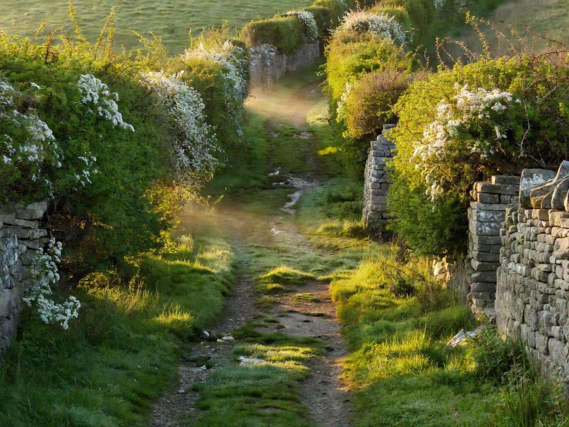
Historical Classification of Cotswold Routes
Long before tarmacadam carriageways crisscrossed Gloucestershire and Oxfordshire, the Cotswold hills were traversed by an intricate network of specialized thoroughfares. Understanding the legal status and history of these routes allows ramblers to choose footpaths that maximize landscape solitude while adhering to English access laws.
These ancient routes generally fall into three structural categories:
- Salt Ways: Medieval and Saxon packhorse routes used to transport mineral salt from the brine springs at Droitwich south and east through settlements like Hailes, Hawling, and Salperton.
- Drove Roads: Broad, hedge-bordered turf corridors engineered to move sheep and cattle toward major market towns such as Cirencester and Stow-on-the-Wold without encroaching upon cultivated strips.
- Holloways (Sunken Lanes): Ancient tracks eroded deep into the soft limestone marl by centuries of iron-rimmed wagon wheels and rainwater runoff, creating shaded ecological microclimates overhung by old tree roots.
Selected Secluded Byway Circuits
Rather than walking along narrow vehicular lanes lacking pedestrian verges, ramblers should consult the definitive public rights of way map for these proven corridors:
| Route Name | Corridor | Length | Key Landscape Feature |
|---|---|---|---|
| The Salt Way Ridge | Winchcombe to Hawling Wold | 7.4 miles | Deep limestone holloway passing historic Hailes Abbey ruins |
| The Bathurst Holloway | Sapperton Valley to Edgeworth | 4.2 miles | Dense beech hanging woods over the abandoned Thames & Severn canal tunnel |
| Windrush Drove | Temple Guiting to Kineton | 3.8 miles | Broad grassy trackway bordered by unbroken drystone walls |
| The High Wold Holloway | Cold Aston to Notgrove | 5.0 miles | Disused railway embankment and Bronze Age long barrow spurs |
Navigation & Legal Rights of Way
Under the Countryside and Rights of Way Act 2000 (CROW), public access in England is strictly governed by legal designations marked on Ordnance Survey Explorer maps (1:25,000 scale):
- Public Footpaths (Yellow Waymarks): Open to pedestrians only. Prams and wheelchairs are permitted where physical terrain allows.
- Public Bridleways (Blue Waymarks): Open to walkers, horse riders, and pedal cyclists (cyclists must yield to pedestrians and equestrians).
- Restricted Byways (Plum Waymarks): Accessible for pedestrians, riders, and non-motorized wheeled vehicles (carriages, bicycles).
- Byways Open to All Traffic - BOAT (Red Waymarks): Carries vehicular rights, though often unpaved and subject to seasonal conservation traffic regulation orders (TROs).
The Countryside Code in Practice
When traversing remote farm byways: always leave gates exactly as you find them (open or closed), keep dogs under close control around livestock, carry all litter home, and refrain from climbing or disturbing drystone wall structures.
Essential Field Kit for Quiet Route Walking
Because many ancient holloways lack mobile phone reception and have no intermediate services, adequate preparation is vital:
- Paper Cartography: Ordnance Survey Explorer Sheet OL45 (Cotswolds) remains indispensable, as digital GPS maps frequently drain batteries in cold weather.
- Gaiters: Sunken lanes act as natural drainage channels; waterproof gaiters protect against standing water, nettles, and thick limestone clay.
- Trekking Poles: Indispensable for descending steep limestone scarp steps made slick by damp moss.