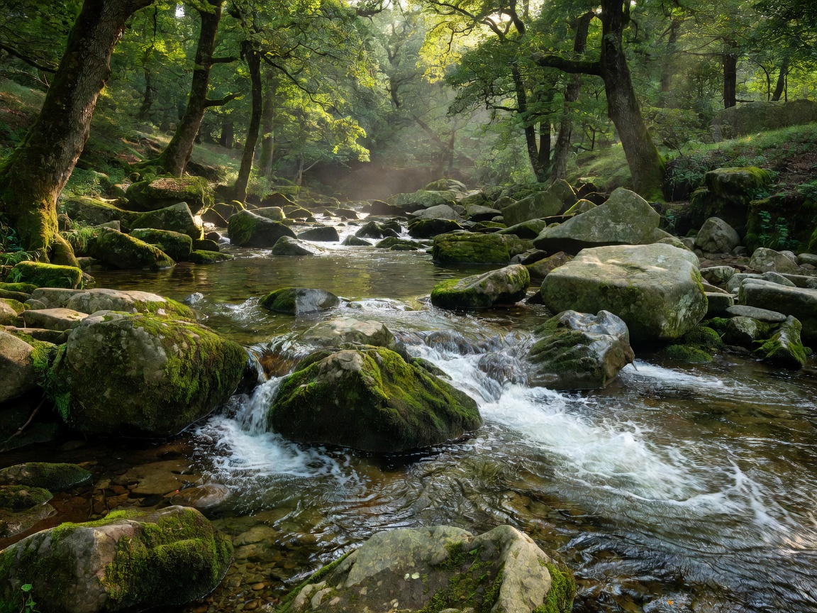
The Geological Setting of the Bybrook Gorge
Situated in the far south of the Cotswolds National Landscape within Wiltshire, Castle Combe occupies a steep incised valley carved by the Bybrook stream through Great Oolite limestone. While mainstream tourism clusters exclusively around the 14th-century Market Cross and the stone bridge at the lower village boundary, the surrounding valley walls conceal an extensive network of ancient paths, limekiln remains, and historic mill sites.
The settlement developed as a prominent weaving and fulling center during the middle ages, leveraging the steady flow of the Bybrook to power mechanical watermills that processed raw wool into finished red cloth. Today, the industrial mill races have reverted to naturalized waterways bordered by hart's-tongue fern, wild garlic, and ancient coppiced hazel woodland.
Detailed Route Profile: The Nettleton & Roman Fosse Loop
To experience the valley away from day-trippers, walkers can pursue a tranquil loop north towards the hamlet of Nettleton:
- Deparature Point: Upper visitor car park off the B4039 (avoiding vehicular entry into the fragile lower village core).
- Descent to Bybrook: Follow the public bridleway winding down through Parsonage Wood into the valley bottom.
- Upstream to Nettleton Mill: Follow the path adjacent to the Bybrook where kingfishers and dippers regularly feed in the clear chalk-filtered stream.
- Fosse Way Crossing: Ascend gently to intersect the route of the Roman Fosse Way, where straight, high-hedged green lanes offer solitary walking.
- Return Leg: Traverse the sheep meadows above West Kington before dropping back into the combes.
Ecological Sensitivity Notice
The Bybrook valley contains protected riverbed gravels critical for native brown trout spawning. Angling and wild dipping are strictly regulated by riparian estate owners to prevent silt disturbance and maintain aquatic biodiversity.
Pros and Cons of Visiting the Southern Cotswold Combes
We weigh the operational realities of exploring Castle Combe and its connected bridleways:
| Factor | Advantages | Challenges & Limitations |
|---|---|---|
| Access & Parking | Large purpose-built top car park prevents congestion in the narrow valley street. | Steep pedestrian ascent (approx. 10-12% gradient) between car park and village core. |
| Scenery & Atmosphere | Unrivalled medieval streetscape completely devoid of modern street lighting or aerial cabling. | High midday congestion around the river bridge between 11:00 and 15:30 on weekends. |
| Trail Conditions | Well-maintained kissing gates and drystone stiles maintained by the local footpath group. | Riverbank clay along the Bybrook can become saturated and treacherous during winter inundations. |
Historical Fabric: The Weavers' Cottages
The row of cottages adjoining the river—traditionally known as the weavers' quarter—still showcases the raised basements and oversized windows originally constructed to maximize natural light for domestic handloom weavers. The roofs are clad in heavily lichened stone tiles sourced from historically adjacent quarries at Box and Corsham, displaying the warm greyish-yellow patina characteristic of Wiltshire oolite.