Navigation
Home Stanton Castle Combe Naunton Snowshill Quiet Byways Contact & Field Station
Heritage Field Study • Cotswold National Landscape

Secret Villages of the Cotswolds

Beyond the tour buses of Bourton and Bibury lie ancient stone hamlets sheltered by Jurassic limestone scarps. Discover undisturbed holloways, Roman byways, and riverside cottages preserved in timeless honey-hued oolite stone.

5 Sheltered Hamlets
100% Public PROW Paths
0 Tour Coach Routes
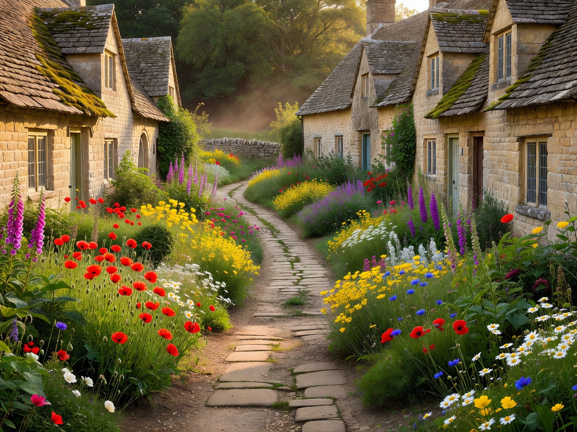
Rural Cotswold stone lane bordered by wildflower gardens and limestone cottage gables
Field Survey OL45 Oolitic Scarp • Untamed Paths
Gloucestershire • Wiltshire • Oxfordshire
Curated Geography

Lesser-Known Settlements & Secluded Valleys

Each sector represents a distinct geological terrace of the Jurassic limestone belt, characterized by uninterrupted footpath networks, protected architectural heritage, and minimal vehicular traffic.

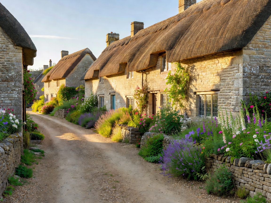
Thatched and stone-roofed cottages lining a quiet lane in Stanton Escarpment Hamlet
Gloucestershire Escarpment

Stanton & The Shenberrow Slopes

Nestled beneath the Cotswold Edge, Stanton preserves 16th-century timber frames, ancient cider presses, and horse bridleways rising to Shenberrow Hill.
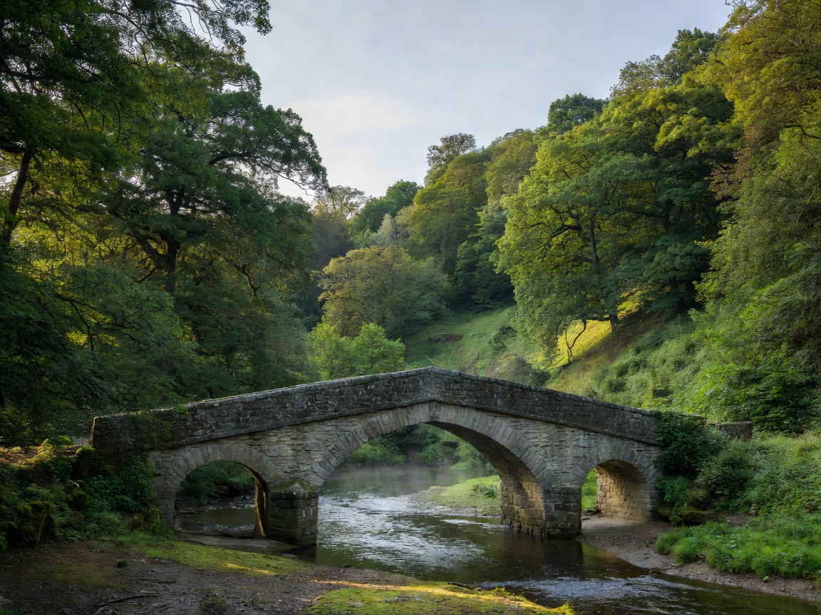
Bybrook riverbank with limestone bridge in the lower wooded valley Southern Valley
Wiltshire Combe

Castle Combe Valley Byways

While the market cross receives casual visitors, the upper Bybrook waterways and Nettleton holloways remain tranquil conservation pathways.

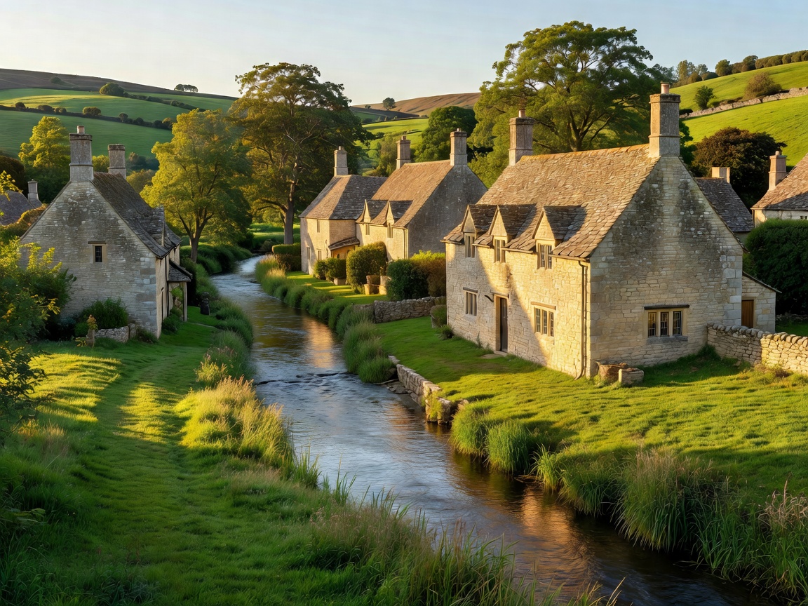
The River Windrush meandering past limestone cottages in Naunton Windrush Basin
Central Limestone Wolds

Naunton & Windrush Tributaries

An elongated riverside community marked by a black-and-white medieval dovecote, secluded sheep folds, and steep valley footpaths to Guiting Power.

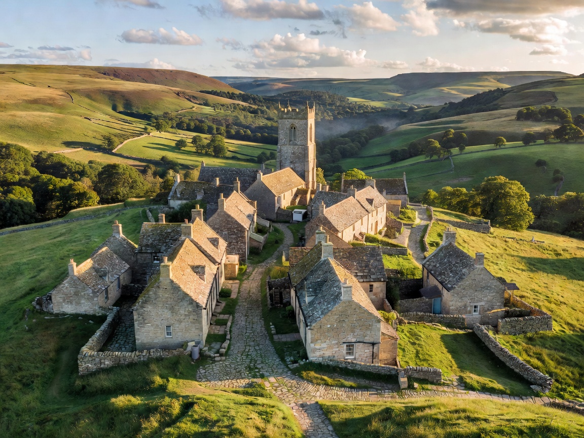
High elevation stone hamlet of Snowshill with church tower overlooking rolling hills High Wold
Northern Ridge

Snowshill & The High Escarpment

Perched 700 feet above the Vale of Evesham, Snowshill features windswept drystone boundaries, the Charles Wade collection, and isolated ridge walks.

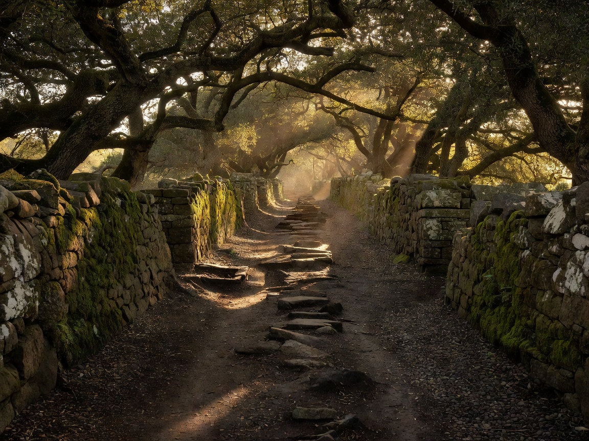
Sunlight filtering through an ancient sunken trackway flanked by drystone walls Path Network
Historic Trackways

Quiet Byways & Ancient Footpaths

Detailed exploration of Salt Way remnants, sunken green lanes, and bridleways that connect remote farm settlements away from motor transit.

Conservation & Vernacular Architecture

The Jurassic Oolite Belt

The distinctive character of Cotswold settlements arises directly from the underlying geology. Inferior and Great Oolite limestone varieties provide both the durable building stone and the thin, permeable soils that support ancient beech woodlands and sheep-grazed wolds.

Our research repository documents the micro-settlements that have avoided commercialization, preserving genuine public rights of way, working farms, and centuries of unhurried country craftsmanship.

Public Access & Footpath Integrity

Every walking path described across our indices follows statutory Public Rights of Way (PROW) designated under Gloucestershire and Oxfordshire definitive maps. Visitors are reminded to respect working farm boundaries, secure livestock gates, and preserve stone wall integrity.