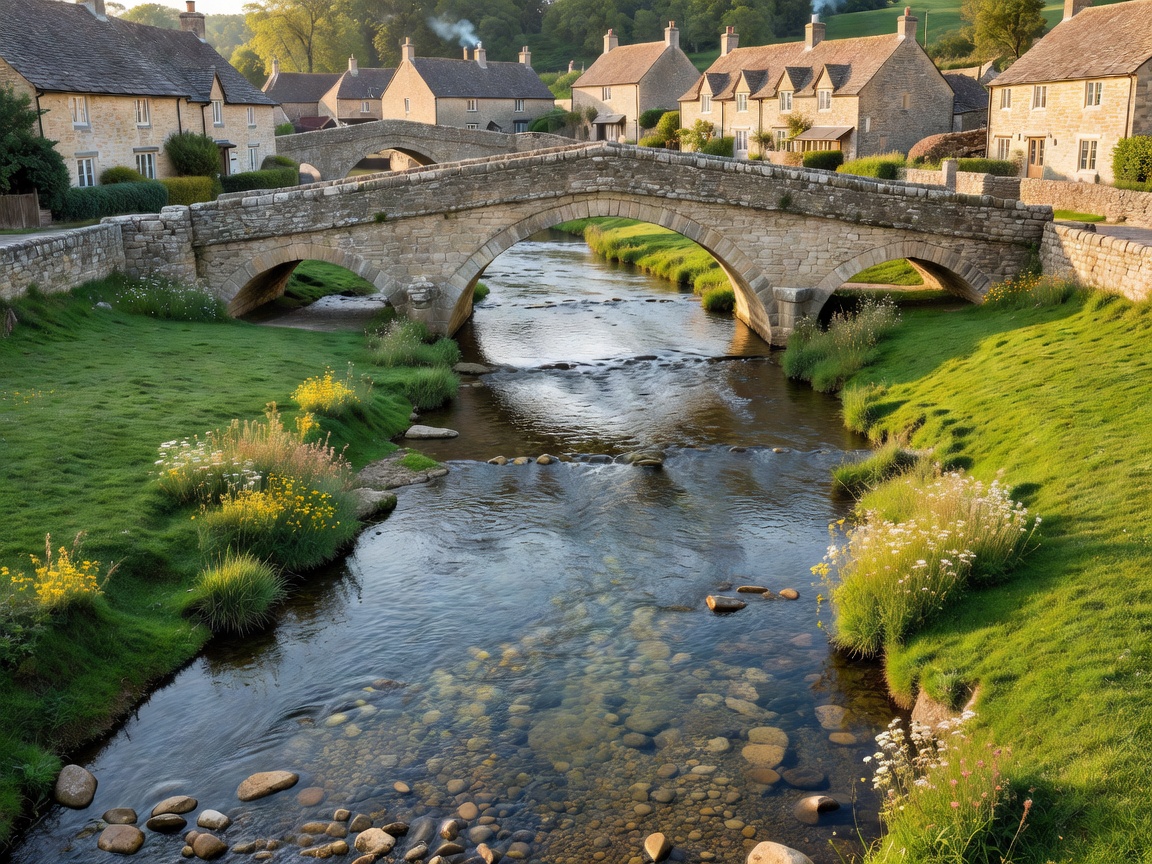
The River Windrush & Vernacular Settlement
Naunton lies in a sheltered depression five miles west of Stow-on-the-Wold. While the neighbouring downstream village of Bourton-on-the-Water experiences intense tour bus traffic, Naunton retains its peaceful rhythm as an authentic working agricultural community. The settlement is linear, oriented east-west along the clear, shallow stream of the infant River Windrush, which is crossed by small private stone footbridges connecting riverside cottages to the main lane.
The parish is distinguished by its 16th-century four-gabled dovecote, constructed circa 1660 for the local manor house. Containing over one thousand nesting boxes fashioned from local limestone, this Grade II* listed structure stands right on the river meadow and serves as an exceptional exemplar of early modern agricultural engineering in the North Cotswolds.
Circular Trek: Naunton to Guiting Power
This classic walking loop connects two of the most rewarding secluded hamlets in the Windrush watershed:
- Length: 5.5 miles (approx. 2.5 to 3 hours at walking pace)
- Start: St Bartholomew’s Church, Naunton
- Key Points of Interest: Warden's Way crossing, the 17th-century dovecote, Castlett Wood, and Guiting Power village green
- Trail Character: Undulating arable pastures, drystone wall boundaries, and quiet gravel farm tracks
Along the ridge between Naunton and Guiting Power, the open wold allows panoramic views across the Cotswold plateau. Racehorse gallops are carved into the turf on the nearby high slopes, and morning walkers often witness thoroughbred racehorses exercising in the dawn mist.
Settlement Comparison: Naunton vs. Bourton-on-the-Water
When planning a journey along the Windrush, selecting the right village base is paramount:
| Characteristic | Naunton | Bourton-on-the-Water |
|---|---|---|
| Footfall Density | Very low; primarily local residents, ramblers, and cyclists | Extremely high; major international coach destination |
| Amenities & Dining | One traditional inn (The Black Horse), church, historic dovecote | Dozens of cafés, souvenir stores, model villages, bird sanctuary |
| Atmospheric Preservation | Intact pastoral setting; drystone farming boundary walls dominate | Commercialized river frontage with extensive paved concourses |
| Public Transit | Minimal bus frequency; private car or bicycle recommended | Regular bus routes connecting to Cheltenham and Moreton rail stations |
Architecture: St Bartholomew's Church
At the center of Naunton stands the 15th-century parish church of St Bartholomew, featuring a carved stone pulpit dating from the reign of Edward IV, unusual stone sundials on the exterior south wall, and monuments to the Aylworth family who held the manor throughout the English Civil War. The churchyard slopes gently downward toward the riverbank, providing a calm vantage point to observe brown trout swimming in the shallow gravel shallows.